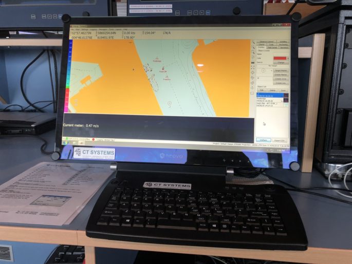
Viking is a powerful software package fully aimed at ease of use and with user friendlines in mind. It features a clean and simple user interface, yet it has all required interfacing and calculations under the hood.
Features:
Easy to use
3D DTM Matrix Support
Advanced graphical Ship Design
DXF Support
Local chart projection support
Modular License
Customizable
Single platform for all operations
Positioning, dredging & survey
Multiple suction tube sections
Navionics worldwide chart database
Viking Modules expansion interface
Virtually unlimited DTM matrix size
Worldwide chart datum support
XYZ,CSV,PDS2000,Hypack,LandXML,DXF 3DFACES Data import/export
Viking software for Dredging:
Viking Dredge is a specialized version of Viking Navigation, it introduces added functionality such as 3D DTM dredging area support and suction pipe/dredging tool interfacing. Viking Dredge can be used on virtually any type of dredger, be it a large trailing suction hopper dredger, a small cutter dredger or an hydraulic excavator.
Viking software for
Offshore Operations:
Viking Offshore:
- Anchor Planning
- Dive Support Vessel Positioning
- Wind Farm Navigation
- ROV & Diving Operations
- Tug Management System
- Rig moves


Example Configurations:
- Dive support Vessel
- ROV Operations
- Excavator
- Grab Dredge
- Wire Crane
- Dredging Frame
- Cutter Suction Dredger
- Trailling Suction Hopper Dredger
- Single Beam Survey
- Side Scan Sonar Survey
Distance Warning/Windmill Module
This modules provides Viking with an on-screen display of distances from the vessel to points around it. Warnings can be displayed when the vessel goes too far away or too near to these points. Points around the ship can also be updated real-time through an external source like a sonar device to provide distances to moving objects.
Viking software for
Offshore Operations:
Viking Survey:
- Single Beam Sonar Survey
- Side Scan Sonar Survey
- Multi Beam Sonar Survey


Example Configurations:
- 3D DTM Matrix Support
- Advanced Graphical Ship Designer
- DXF Support
- Echo Sounder Support
- Extensive Viking log Format
- Local chart projection support
- Navionics worldwide chart database
- Realtime survey matrix
- Sidescan Sonar support
- Virtually unlimited DTM matrix size
Introduction
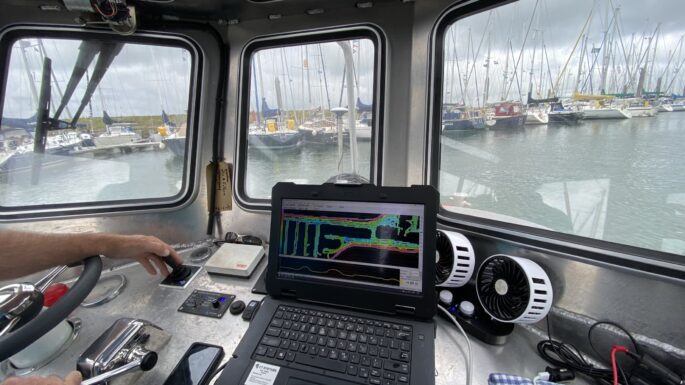
Viking Survey is an extension to Viking Navigation and thus offers the same ease of use and all features already present in Viking Navigation.
With added support for an array of hydrographic sensors and equipment Viking Survey is a great addition to the Viking product range.
