Products
Viking Software
About Viking
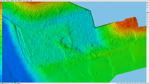
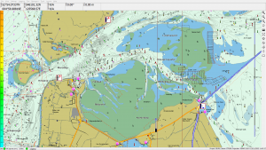
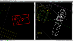
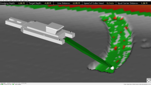
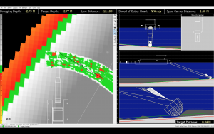
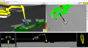
Viking is a powerful software package fully aimed at ease of use and with user friendliness in mind. It features a clean and simple user interface, yet it has all required interfacing and calculations under the hood.
Features:
- Easy to use
- Modular License
- Customisable
- Single platform for al operations
- Positioning, dredging & survey
Applications:
- Offshore Positioning
- Dredging
- Hydrographic Survey
- Maritime Construction
- Machine Control
GeoDredge
About GeoDredge:
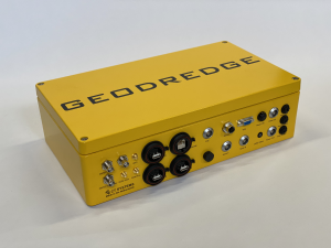
GeoDredge is a unique, all-in-one, ruggedised dredging computer. Featuring all components inside a single and solid housing, powered by the Viking Software.
Features:
- Turn Key Solution
- Internal Industrial Computer
- Internal Viking Software
- Internal RTK GNSS Heading Receiver
- Internal GSM/LTE High Speed Modem
- Internal UHF Transceiver
- Internal Long Range Wi-Fi
Designed For:
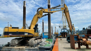
- Excavators
- Cutter Suction Dredgers
- Grab Dredgers
- Wire Cranes
- Dredging Pontoons
- Machine Control
- Any dredger or machine with limited space
GeoSounder
About GeoSounder:
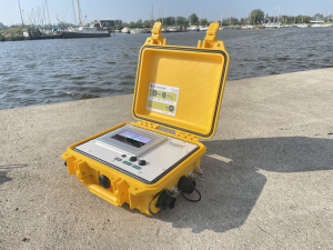
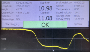
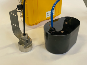
The GeoSounder is a compact, rugged and survey grade single beam echo sounder, with internal GNSS. Transducer data and GNSS data are combined and transmitted over both RS232 and TCP ethernet connections.
Features:
- Rugged & Waterproof
- Internal RTK GNSS
- Internal UHF Transceiver
- Single & Dual Frequency
- Available as turn-key solution with Viking & Viking Process software
CT-Tide
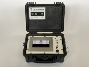
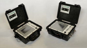
About CT-TIDE:
The CT-TIDE is a compact and rugged tide gauge with a built in touchscreen LCD, data storage and telemetry. Recorded tidal data will be displayed on the screen, recorded in the unit and transmitted over either long range UHF or Industrial Wi-Fi.
Features:
- Rugged waterproof design
- Touchscreen programmable
- Simple calibration & configuration
- Remotely programmable and accessible
- Internal UHF Transceiver
- Internal data storage
- Tide Logger PC Software included
GeoGNSS
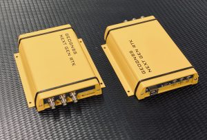
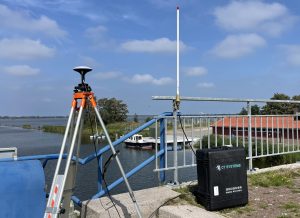
About GeoGNSS:
GeoGNSS is a GNSS receiver offering various housing options and offers several internal GNSS technology options, providing each industry with a turn-key solution.
Housing Options:
- 19” Rack Mount
- Rugged Peli Case
- Rugged Blackbox
Internal GNSS Engines:
- Trimble BD992
- Next Generation RTK
RDPS - Rapidly Deployable Positioning System
About RDPS:
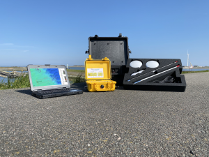
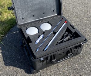
The Rapidly Deployable Positioning System (RDPS) is a portable system for precise positioning operations. A single RDPS will assure you of exact positioning of any vessel, including vessel to vessel telemetry.
Simply position the antennas outside and connect GeoGNSS RDPS. The notebook running Viking will connect to the Wi-Fi antenna and gather all data. The GeoGNSS RDPS has a wide input DC power supply enabling many options for power sourcing.
The RDPS comes with highly accurate (RTK, Marinestar) DGNSS, GNSS compass, AIS, UHF telemetry, industrial Wi-Fi, rugged notebook, Viking positioning software, and all required adapters, cables and antennas.
